Los Hospitales
The forgotten path: The historic Los Hospitales route
It is little known that in the fifth stage of the path lies a hidden pass that will guide every pilgrim and walker to discover the ruins where transhumant herds and Romans traveled centuries before.
Stage Options from Colinas de Arriba
From Colinas de Arriba, we have two options to continue the path, planning the next stage ending in Berducedo:
- 🥾 Via Pola de Allande (28 km)
- ⛰️ Via Los Hospitales (21 km)
If you choose Los Hospitales, the path that starts from the hostel links with the one from La Mortera in 1.2 km. It is a well-marked route and feasible for any walker in average physical condition; just be mindful of the weather and carry the appropriate gear.
Why choose the Los Hospitales route?
Regarding the Los Hospitales route, in addition to being 7 km shorter, we avoid descending to 524 meters in altitude only to потім then ascend to 1,132 meters at Puerto del Palo; we bypass roads and enjoy an attractive landscape that spans from the Picos de Europa to Galicia, passing through the Cantabrian Mountains and the Cantabrian Sea.
The History of the Forgotten Path
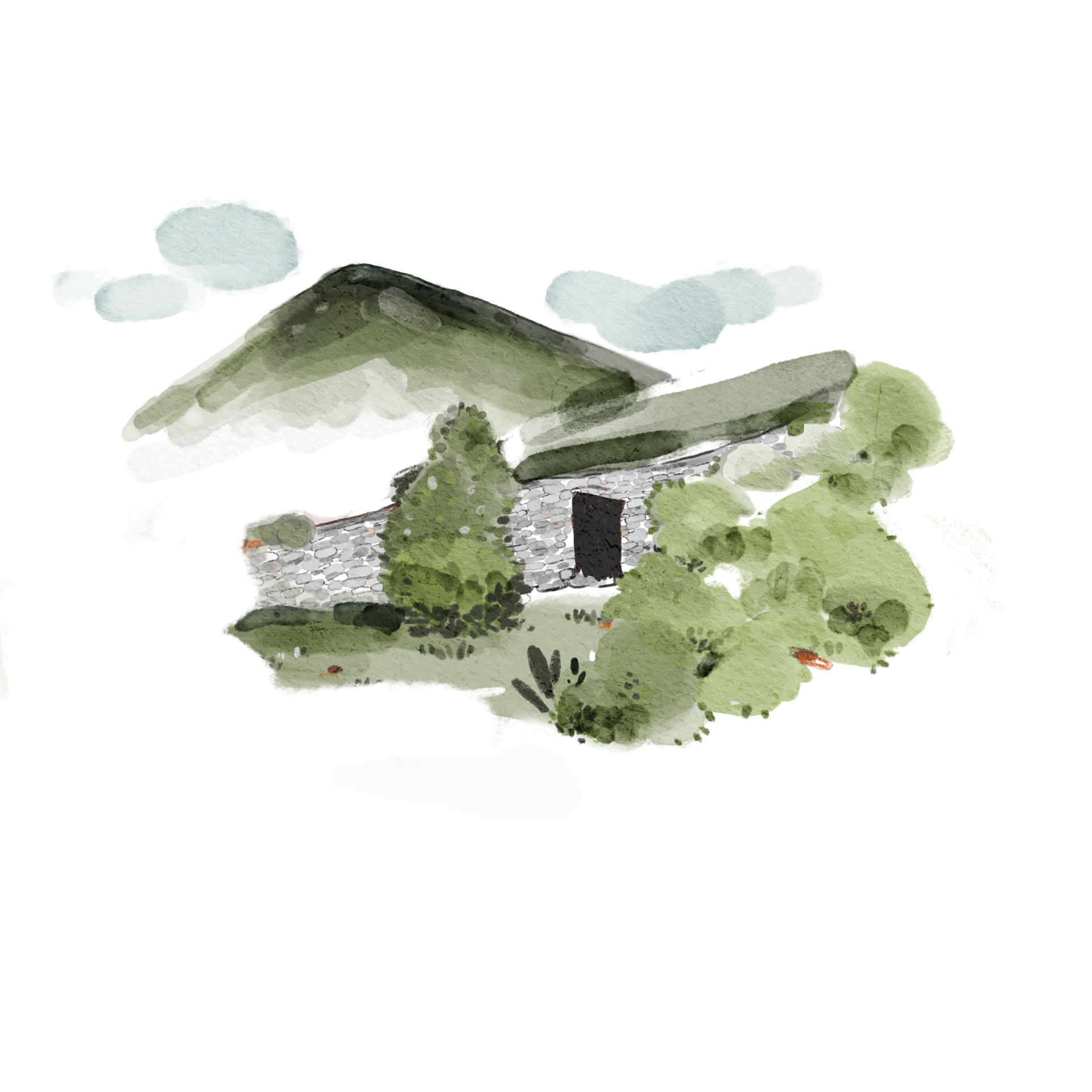
This route, based on the ancient Roman road used for gold mining in these mountains (still visible today), owes its name to the four hospital foundations for pilgrims located among its peaks. This highlights the challenges ancient pilgrims had to face during the harsh winters of the area.
The 4 Historical Ruins:
-
🏛️ Hospitales de Paradiella
(15th Century). Barely a few stones remain today. It had its own chapel.
-
🛡️ Hospitales de Fonfaraón
(13th Century). It was converted into a livestock shed. It also had a chapel. In 1918 it was still active: "it was still attended by a woman who, with the meager daily wage of one peseta, gave shelter to travelers in a small room, where there was only a hearth with stone benches around it."
-
⛪ Hospitales de Valparaiso
(13th Century). It had its own chapel.
-
⛰️ Hospitales de la Freita
Already at the Palo Pass, it remained active providing shelter until the 18th century.
Between the 14th and 15th centuries, new routes began to be traced that reached the current Pola de Allande to avoid these mountain passes, especially for the winter. From the 19th century, current roads were also laid out with a similar itinerary, leaving this iconic Los Hospitales route for grazing and the occasional pilgrim who still used it by those dates.
Some names and hidden corners of the route
Standing at the landmark of the first hill we encounter (Alto de la Portiella), leaving Pico Caborno to our right which we have just skirted and looking northwest, we can distinguish the Besapié meadows, one of the three "brañas vaqueiras" that populated this range and are practically uninhabited today.
Below Besapié ends La Muria, the mountain range in front of us (some say they see fossilized dinosaur footprints on the rocks that support that range... hard to believe, although here we step on the oldest Paleozoic), there, hidden from our sight, two streams meet and give origin to the Barcena river and the meadows of the second "braña", Curriellos.
The third settlement, El Concellin, located between Curriellos and the mid-slope of Caborno, is also not visible from this position.
Five hundred flat meters separate us from Paradiella, a place that preserves the foundations of an ancient hermitage. Another 500 meters uphill to Picaratos will give us the height to reach Puerto del Palo with gentle slopes and the elevation to dominate a wide panorama over the Cantabrian Mountains, Picos de Europa, the Cantabrian Sea, Galicia, etc.
Finally, we note Recuebanos, the charming lagoon that precedes the Hospitales. Just as every city has its streets with their numbers, in these ranching landscapes every landform, every rock, every corner has its name, so that an inhabitant of the area could report what happened in the precise spot.